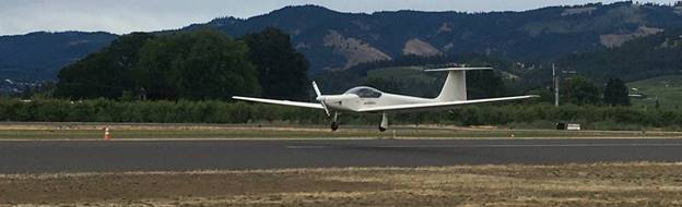
New Years Eve day held an interesting array of unique situations and challenges for Brian and myself, as we piloted his Super Ximango through the Noth American Alpines.
The original plan was to takeoff from Hood River, and make a course due south, towards Mt Jefferson, climbing enroute, with oxygen, and see how much altitude we could gain between Hood River and Jefferson.
Before takeoff, we were concerned by a scattered ceiling of clouds at 4000 feet, that threatened to turn our long distance cross country flight into a couple of trips around the pattern.
By the time we completed the preflight, and allowed the motor to warm to operating temperature, we were relived to see a large portion of blue skies above the airfield!
We took off uneventfully, and made a long, 5 mile wide circle above the airport; in order to gain altitude sufficient for a safe glide back to this opening, in case of any unforseen problems may occur on our journey.
We straightened out on a Southernly heading, climbing at 500 feet per minute, taking us on a course just to the East side of Mt Hood.
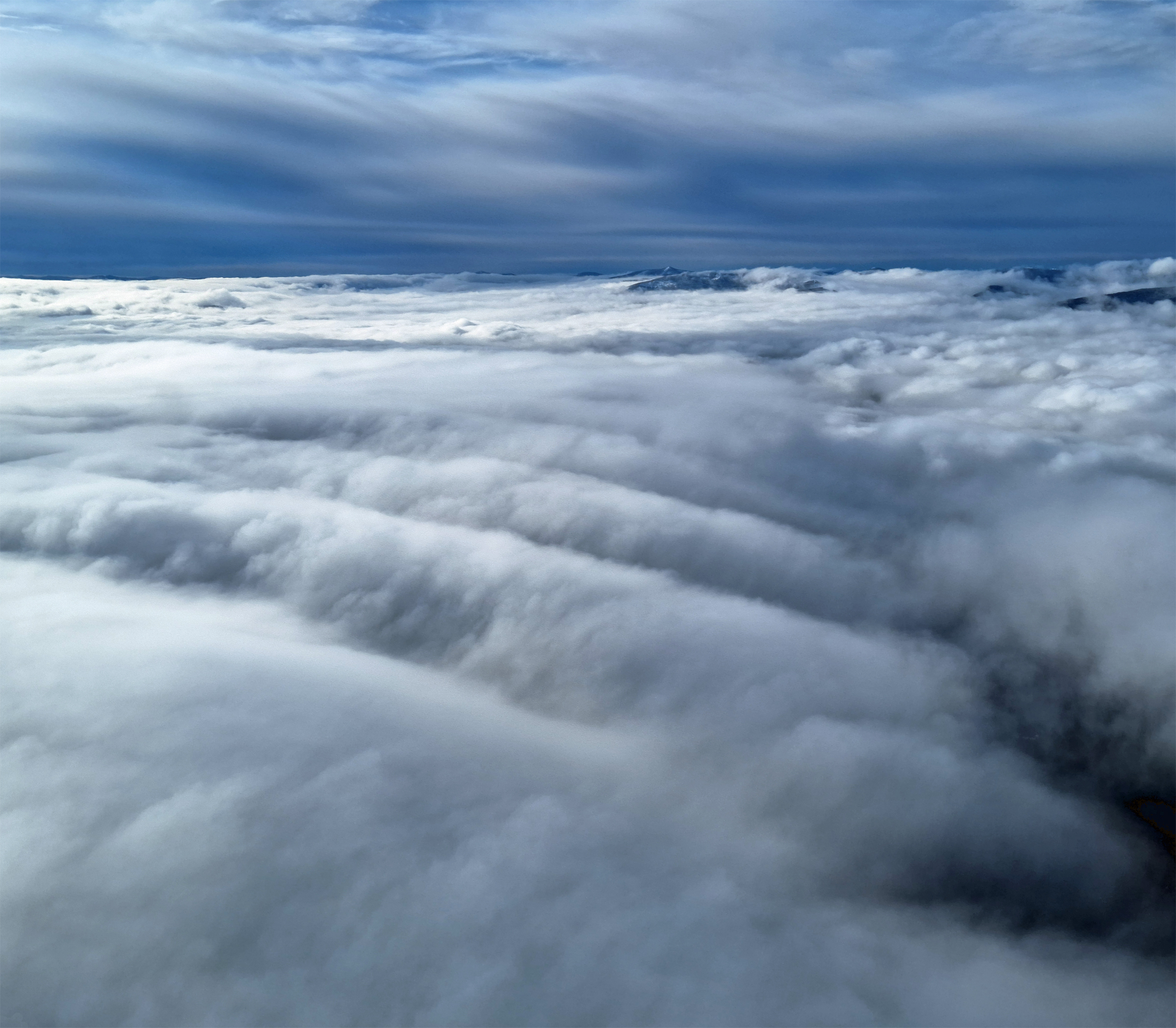
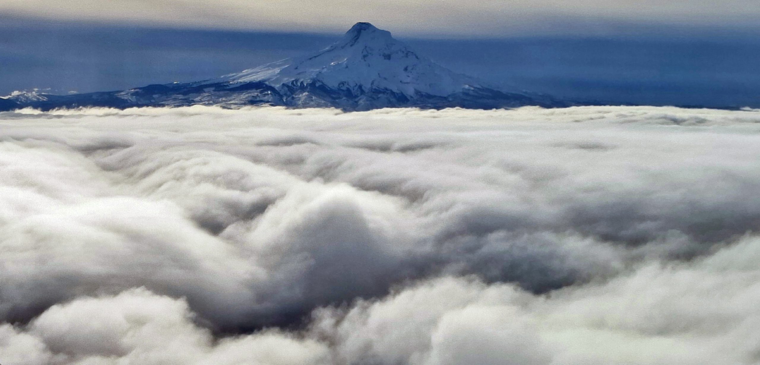
Shortly after departing the airspace just above Ken Jernstedt airfield, Brian pointed to a formation of clouds on our right side, probably over Middle Mountain He noted the wave like formation in the clouds below. These were not atypical 'rotorclouds,' that you see in the lee of a mountain, and they were definitely not the standing lenticular clouds that you would see much higher up; nor were the the typical 'wave bar' type clouds that you see illustrating low pressure areas in wave formations. These looked like the rapids in a river, with full wave formation illustrated by the clouds. They formed in a large layer of surrounding clouds, which leads me to belive they are under an inversion layer.
After we were awed and amused by the Middle Mountain wave phenomenon, we continued on our mission and focused on the weather conditions, specifically the thin cloud layer that was hanging around FL120, seemingly blanketing the greater NW part of the state of Oregon. We were careful to check our cloud cover and opening over 4S2 (Hood River Airport) by executing periodic 90° turns to the left and right as we made our way climbing higher into the crisp mountain air.
When we got over Lookout Mountain, due east of Mt Hood, it became obvious that meteorological conditions did not warrent us continuing our journey to Mt Jefferson.
Instead we continued on for another ~5 miles while we worked out a change to our flight profile, and crunched some quick calculations.
It was decided that we should shut down the motor (we're at 10,500 feet MSL) and glide back to Hood River, and opt to do some work at the simulator room.
After getting the motor shut down, and configured for gliding, we started making our way back towards Mt Hood, uneventfully.
When we got around to the east side of Mt Hood, about a mile from the peak, we felt some turbulence, and then the VSI went to positive +7 climb! A little further and we we hit +10!!
We ran through areas of sink and lift, and realized the lift from the wave here was very narrow.
Brian expertly scouted the side of the mountain using his lift sniffing skills, and after about 3 or 4 circles, he was able to lock us into the lift, using a series of increasing end decreasing turn and bank angles, circling in the same area, to keep us in the narrow band of rising air! We were thrilled to see the VSI staying between +5 and +10 as the mountain zoomed by round and round in the background outside! Before we knew it, we were above the peak of Mt Hood, and climbing steadily!
Unfortunately, we had to discontinue our climb at around 12,900 MSL, due to visibility issues caused by the layer of light cloud that was streched across the sky, as far as the eye could see.
We opted to continue our glide back to Hood River airport, with a few thousand extra feet to spare. But what to do with this extra altitude we found ourselves with??
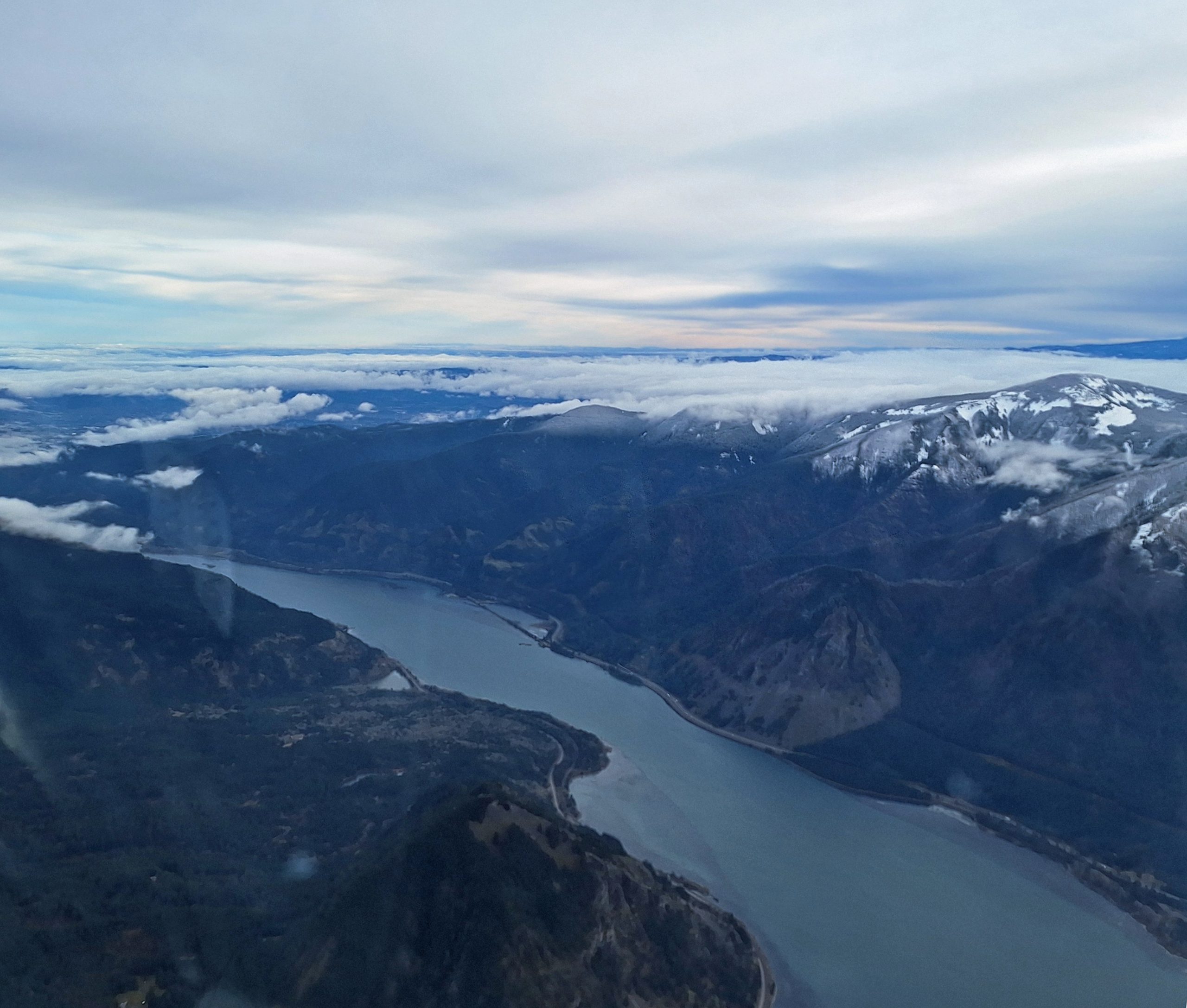
We were abeam of Baldie, when Brian suggested we change course to the west, and fly over Mt Defiance, and continue across the Columbia, to see if we could reach Carson, while still being within good gliding distance of Hood River. I'm sure Brian was thinking about what kind of profile he could fly with scenic rides, on epic flights out here.
We made it to Carson, at around 6500' MSL, circled around 270° to the east, and opted to poke around the hills for some lift to play in. We didn't find much of any there.
We made a quick decision to head back across the river, and head east, towards home.
We maintained a safe altitude to stay clear of any clouds that might give us trouble, and be able to glide to a safe spot above pattern altitude, to make a power off approach, if necessary, Safety First!!
We were well and good when we entered the Hood River valley. We were planning on landing Rwy 25 for convenience of taxiing to the tie down ramp, and we heard someone in a Cherokee calling touch n go's on 7. Right before we were mid field, 2 miles north, we heard him call 'full stop' on his final, so Brian opted to cross midfield, and make left traffic for 25. We landed without event, a beautiful 3 point landing, executed perfectly by our Good Sir Brian. We taxiing and were parked by Tow Lima shortly thereafter.
I feel so lucky, and grateful, that I have the opportunity to be a part of this amazing and dynamic community of aviators, from so many different walks of life.
I am grateul that people like Brian Hart offer me the chance to fly with them, and embark on incredible journeys, and learning adventures; as well as participation in educational excersizes, and getting the word out to people about what we do here!
I want to thank all of you at Hood River Soaring, for your contributions and support, making this incredible adventure, and many others possible.
I look forward to many more adventures and good times in the sky to come!